

Costa Deliziosa: SFO - HKG - SFO51A00
1 available date
Itinerary
San Francisco, USA

San Francisco, USA
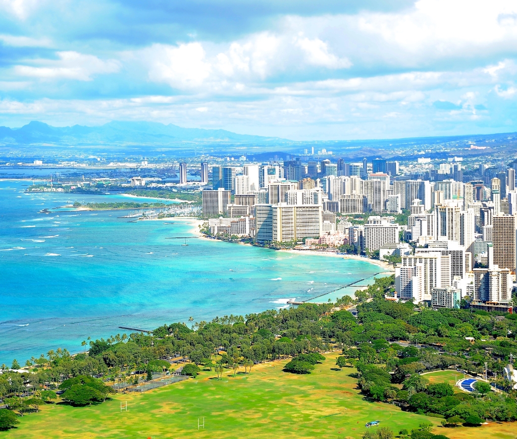
Honolulu
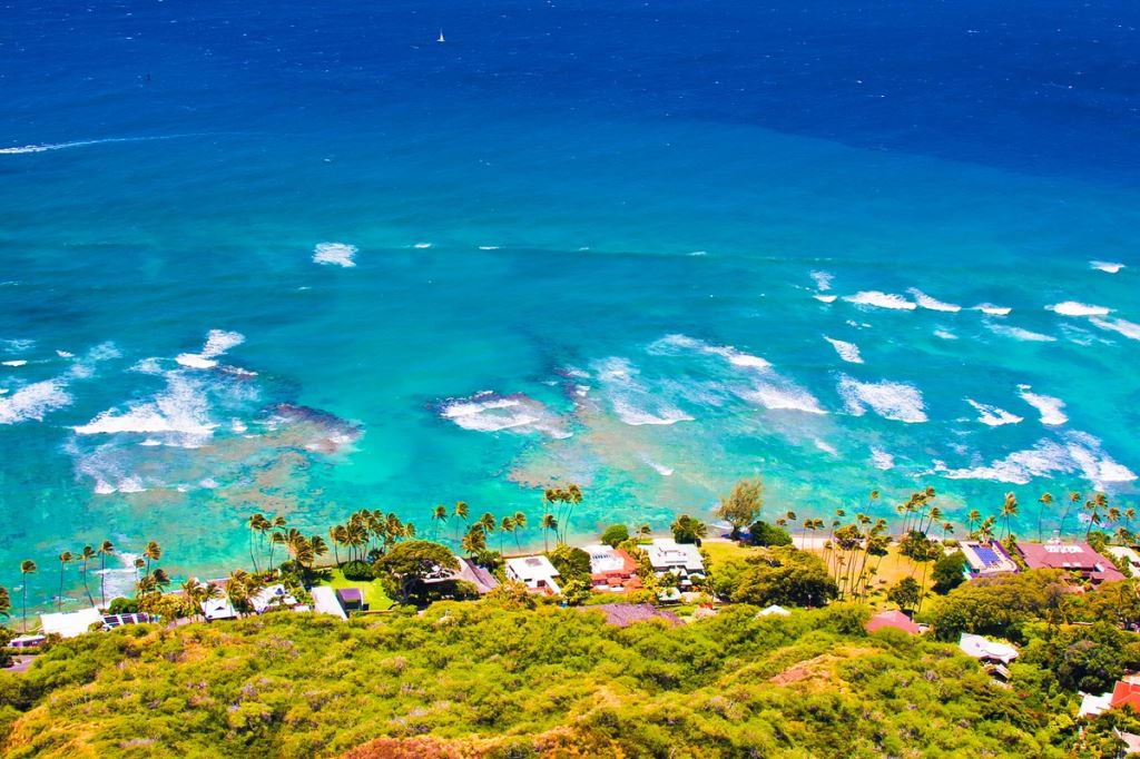
Hilo, Hawaii

Papeete, Tahiti
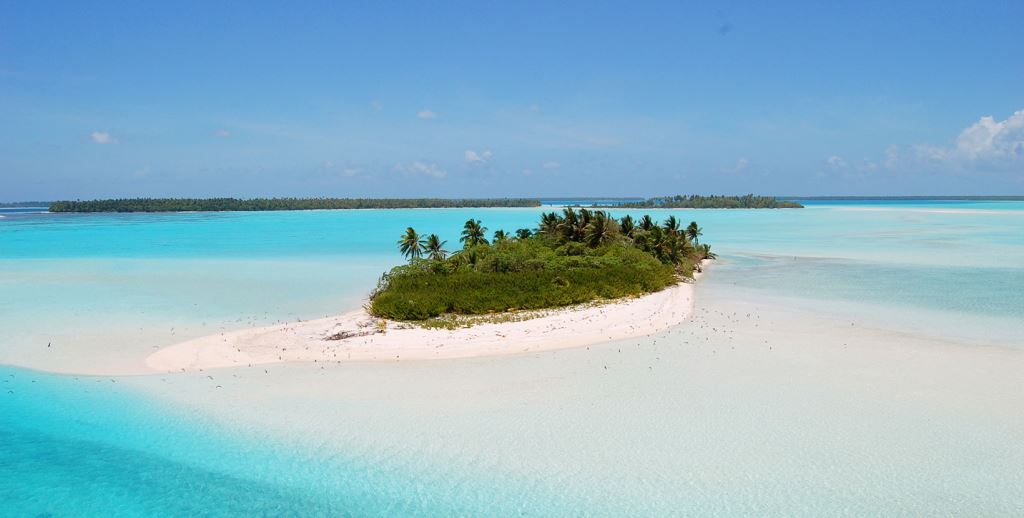
Suva, Fiji Island

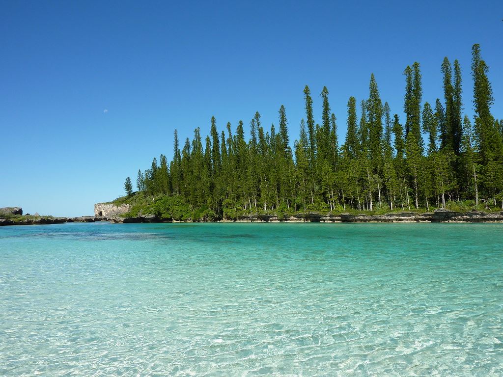
Lifou island, New Caledonia

Nouméa
Sydney, Canada
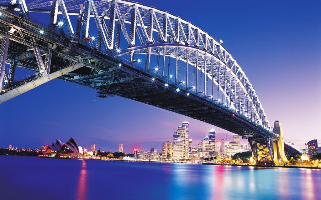

Sydney, Canada
Newcastle, Australia
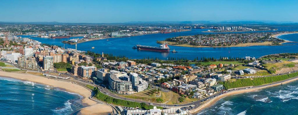
Cairns, Australia
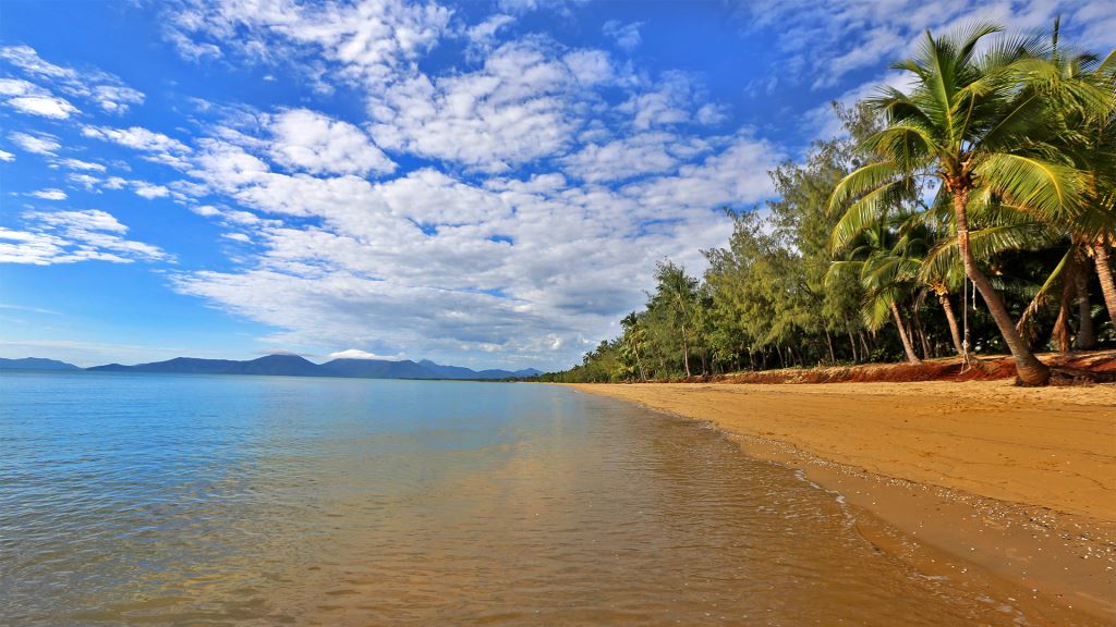
Rabaul (New Britain), Papua New Guinea
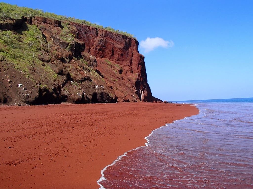
Tokyo, Japan
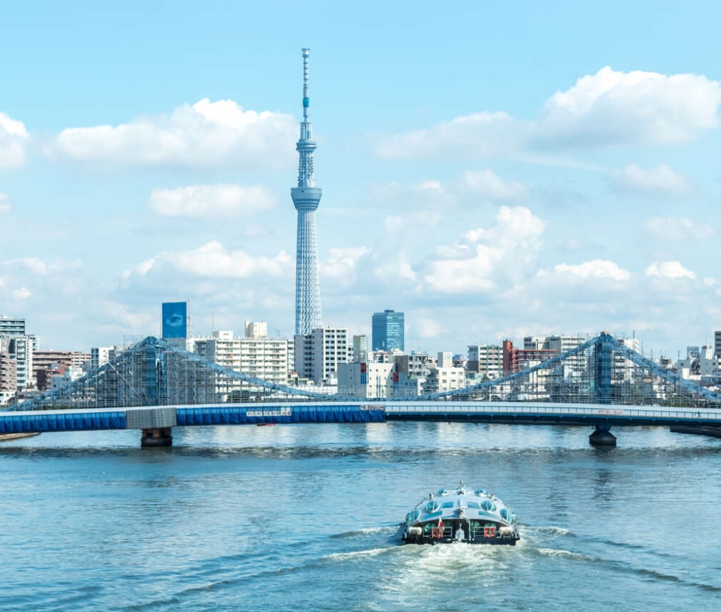
Tokyo, Japan
Kobe, Japan
Kobe is the capital city of Hyogo Prefecture and a prominent port city in Japan with a population of about 1.4 million. The city is located in the Kansai region of Japan and is part of the Keihanshin metropolitan area. Kobe is classified as one of Japan's seventeen designated cities.
Originally known by the name Owada Anchorage, earliest written records regarding the region come from the Nihon Shoki, which describes the founding of the Ikuta Shrine by Empress Jingu in 201 A.D. For most of its history the area was never a single political entity, even during the Tokugawa Period, when the port was controlled directly by the Tokugawa Shogunate. Kobe did not exist in its current form until its founding in 1889. Its name comes from "kanbe", an archaic title for supporters of the city's Ikuta Shrine.
Kobe was one of the first cities to open for trade with the West following the end of the policy of seclusion and has since been known as a cosmopolitan port city. While the 1995 Great Hanshin Earthquake diminished much of Kobe's prominence as a port city, it remains Japan's fourth busiest container port. Companies headquartered in Kobe include ASICS, Kawasaki Heavy Industries, and Kobe Steel, as well as over 100 international corporations with Asia or Japan headquarters in the city such as Procter & Gamble and Nestlé. As of September 2007, Kobe has a population of 1,530,295 making up 658,876 households. The population density is approximately 2,768 persons per square kilometer. About thirteen percent of the population is between the ages of 0 and 14, sixty-seven percent are between 15 and 64, and twenty percent are over the age of 65.Approximately 44,000 registered foreign nationals live in Kobe.
The four most common nationalities are Korean (22,237), Chinese (12,516), Vietnamese (1,301), and American (1,280).Kobe is both an important port and manufacturing center within the Hanshin Industrial Region. Kobe is the busiest container port in the region, surpassing even Osaka, and the fourth busiest in Japan.As of 2004, the city's total real GDP was ¥6.3 trillion, which amounts to thirty-four percent of the GDP for Hyogo Prefecture and approximately eight percent for the whole Kansai region. Per capita income for the year was approximately ¥2.7 million. Broken down by sector, about one percent of those employed work in the primary sector (agriculture, fishing and mining), twenty-one percent work in the secondary sector (manufacturing and industry), and seventy-eight percent work in the service sector.The value of manufactured goods produced and exported from Kobe for 2004 was ¥2.5 trillion. The four largest sectors in terms of value of goods produced are small appliances, food products, transportation equipment, and communication equipment making up over fifty percent of Kobe's manufactured goods.
In terms of numbers of employees, food products, small appliances, and transportation equipment make up the three largest sectors.Kobe is famous for its Kobe beef and Arima Onsen (hot springs), while notable buildings include the Ikuta Shrine as well as the Kobe Port Tower. It is well known for the night view of the city, from the mountains (like Mount Rokko, Mount Maya and so on) as well as the coast. Kobe is also known for having a somewhat exotic atmosphere by Japanese standards, which is mainly a result of its history as a port city.The city is also widely associated with cosmopolitanism and fashion, encapsulated in the Japanese phrase, "If you can't go to Paris, go to Kobe."
The biannual fashion event Kobe Collection is held in Kobe. The jazz festival "Kobe Jazz Street" has been held every October at jazz clubs and hotels since 1981.Kobe is the site of Japan's first golf course, Kobe Golf Club, established by Arthur Hasketh Groom in 1903, and Japan's first mosque, Kobe Mosque, built in 1935. The city also hosts the Kobe Regatta & Athletic Club, founded in 1870 by Alexander Cameron Sim, a prominent foreign cemetery, and a number of Western-style residences from the 19th century.Most of the 1957 romantic drama Sayonara takes place in Kobe.
Kobe is also the setting of the Studio Ghibli film Grave of the Fireflies.

Nagasaki, Japan
Nagasaki is the capital of the prefecture of the same name, situated on the island of Kyushu, the third largest island of the Japanese archipelago. The narrow strait of Shimonoseki separates it from Honshu. Kyushu is shaped like an irregular rectangle and features various areas of high ground reaching nearly 1800 meters including Mount Aso, the volcano.
The island's climate is characterized by abundant precipitation which encourages the growth of subtropical vegetation. The city of Nagasaki is in the middle of a long bay, the island's best natural port. The residential and commercial area of the city has been built on a small level area, whereas the metropolis of nearly half a million inhabitants extends along two main river valleys, divided by a rocky spur.
Nagasaki is famous throughout the world for having been the target of the American nuclear attack (together with Hiroshima) in August 1945, but its history goes much further back. Founded in the 16th century, to begin with Nagasaki was an insignificant port city. In 1549 the arrival of the Portuguese Jesuit missionary Francis Xavier gave rise to intense development involving western monks, Portuguese and Dutch merchants and local aristocrats. Little Nagasaki grew fast thanks to trade with China. Towards the end of the century, however, persecution of the Christian incomers started, and, on 5 February 1597, 26 of them were crucified. Oura Catholic church, built in 1865 by the French monk Bernard Petitjean, is dedicated to this massacre, and is therefore called the Church of the 26 Martyrs.
In 1614 Christianity was banned once and for all, and all priests were deported. It was only in the second half of the 19th century, when Nagasaki opened its port in1859, that Europeans returned in grand style. The construction of Oura Church is rightly considered the moment when Christianity was reborn in the whole of Japan. At the end of the century, under the Meiji government, the region began to develop substantial industries, with a special focus on ship-building. It was precisely the remarkable success of this development and the consequent industrial importance of Nagasaki which convinced the Americans to choose it as an atomic target. Today, Urakami, the centre of the explosion which happened at 11.02 on 9 August 1945, is a peaceful residential district.
It also houses the Atomic Bomb Museum which commemorates the tragic event. A black stone pillar in Hypocentre Park marks the exact site where the bomb ("Fat Man", as the American pilots who dropped it called it) exploded. The bomb, which was 2.34 metres long, 1.52 metres in diameter and weighed 4545 kilograms, exploded at a height of 550 metres. As Nagasaki was built in a hilly area, the number of deaths was lower than that caused by the first bomb on Hiroshima (6 August 1945). Approximately 40,000 people died at the time of the explosion and an estimated 25,000 were injured. Many thousands died subsequently as a result of the radiation. In the Peace Park, on a nearby hill, a statue nearly 10 metres high, made by the Japanese sculptor Seibou Kitamura, symbolizes a citizen of Nagasaki who wishes for peace and no more nuclear war. After the end of the Second World War, Nagasaki was rebuilt and is now very different from how it was before 1945. Temples and churches, including the Temple of Confucius and Urakami Cathedral, were restored and it is interesting to note that today Nagasaki has the highest percentage of Catholics of all the major Japanese cities.


Busan, Korea, Republic of
Busan, a bustling city of approximately 3.6 million residents, is located on the southeastern tip of the Korean peninsula.
The size of Busan is 765.64km² which is 0.8% of the whole land of the Korean Peninsula. The natural environment of Busan is a perfect example of harmony between mountains, rivers and sea. Its geography includes a coastline with superb beaches and scenic cliffs, mountains which provide excellent hiking and extraordinary views, and hot springs scattered throughout the city.
Busan enjoys four distinct seasons and a temperate climate that never gets too hot or too cold.
Busan is the second largest city in Korea. Its deep harbor and gentle tides have allowed it to grow into the largest container handling port in the country and the fifth largest in the world. In the coming years, capacity is set to grow further with the opening of the New Port. The city's natural endowments and rich history have resulted in Busan's increasing reputation as a world class city of tourism and culture, and it is also becoming renowned as an international convention destination.
Busan, a city of beautiful mountains, rivers and the sea, is also a important cultural city. With the Nakdong River bordering the city and superb natural scenery like Haeundae adding nationwide attraction, the city serves as a major nexus of cultural activities around the region. Also, Busan is the first international port city in Korea. Its location enables the city to serve as a main gateway for the Korean Peninsula and the entire Northeast Asian region.
Geographically, Busan has the Straits of Korea to its south; Ulsan to the north; Gimhae to the West. Cities that share almost the same latitude with Busan include Jinhae and Gwangju in Korea, as well as Tokyo, Jeongsen, Algiers and Oklahoma City abroad.
Busan is eight hours ahead of GMT. As for its geopolitical location, the city comes at the Southern tip of a strip that connects Asia, Siberia and Europe. It also serves as a main gateway to the Pacific Ocean.
This location places the city at the center of international sea transportation.
Busan is located at the southeastern most tip of the Korean peninsula and in the mid-latitude temperate zone, which has seasonal winds. It has four seasons: Spring, Summer, Fall and Winter. The annual average temperature is 15°C. The annual average precipitation is 2,397mm. Busan has strong winds compared to other areas in Korea. Spring begins in March and ends in late June. Cherry blossom trees bloom in late March. And the temperature is very comfortable in April, May and June. The rainy season at the end of June and July signals the beginning of the coming of the summer heat. The highest mean temperatures of around 32°C are at the end of July through mid-August. Fall is from early September through late-November.
The weather is nice and cool at this time because of the continental high atmospheric pressure. Winter starts by the end of November and continues until February. But Busan rarely has any snowfalls. The average winter temperature is 3.8°C. Tourists can enjoy Busan throughout all seasons because of the nice weather and beautiful scenery. In summer, the city is crowded with visitors who come to enjoy the beautiful beaches.
From its opening in 1876, the port city of Busan quickly developed into a hub of trade, commerce and industry. This development resulted in a rapid increase in its population, which had already reached 200,000 by 1936. A major leap in Busan's population came with the breakout of the Korean War, which resulted in an endless stream of people into the city. As a result, the population of Busan exceeded 1 million by the end of 1955. Another factor that spurred the population increase was the government policy for economic growth.
People from urban areas kept streaming into the city for jobs. By the end of 1994, there were approximately 4 million people who called Busan their home. Since 1995, the population has slowly begun to decrease. As of December 2006, Busan was home to 3,635,389 people.

Keelung (Taipei), Taiwan (China)
Keelung (sometimes called Jilong) is a major port city in the north-eastern part of Taiwan. It borders Taipei County and forms the Taipei-Keelung metropolitan area together with the City and County of Taipei.
Nicknamed the Rainy Port for its frequent rain and its important maritime role, the city is Taiwan's second largest seaport (after Kaohsiung). Keelung is currently administered as a provincial city of Taiwan Province in the Republic of China. It has been suggested that the name Keelung was derived from the local mountain whose shape resembles a rooster cage. However, it is more probable that the name was derived from the first inhabitants of the region, like the names of many other Taiwanese cities. Indeed, the area's earliest inhabitants were the Ketagalan people, and Ke-lâng was thus probably derived from Ketagalan.
The Ketagalan were a Taiwanese aboriginal tribe, whose first contact with the west was through the Spanish. From 1642 to 1668 Keelung came under Dutch control. The Dutch East India Company attacked the Spanish and, following a brief successful siege, conquered their Fort San Salvador at Santissima Trinidad. They reduced the size of the town and renamed it Fort Noort-Holland. The Dutch possessed three other fortifications in Keelung which included a small school with a Christian preacher. When the Ming Dynasty loyalist Koxinga (Cheng Ch'en-Kung) successfully attacked the Dutch in southern Taiwan, the troops stationed at the Keelung forts fled to a trading post in Japan.
However, they returned in 1663 and reoccupied and defended their former forts. Unfortunately, trade with China through Keelung did not achieve the hoped-for success, and in 1668 the Dutch left voluntarily. In 1863 the Qing Empire reopened Keelung as an international trading port and it played an important role in the economy of the region until 1885. However, from October 1884, following the outbreak of the Sino-French War, the town was occupied by the French under the command of Admiral Amédée Courbet. Keelung grew rapidly after Taiwan's passage to the Japanese in 1895 under the Treaty of Shimonoseki. It obtained the status of town in Keelung District in 1920 and was upgraded to a city of Taipei Prefecture in 1924.

Hong Kong (China)
Hong Kong is a "Special Administrative Region of China”. It comprises the island of the same name, 259 other islands in the South China Sea, as well as areas of the mainland around the Kowloon Peninsula and in the so-called “New Territories”. Although it was occupied by Chinese settlers as early as the 2nd millennium B.C., the region remained untouched by Chinese imperialism up until the 17th century when it was the setting for a conflict between the Ming and the Manchu dynasties. However it only acquired international interest in the 19th century with the Portuguese being the first Europeans to develop colonies and trade here, silk and tea being the most sought-after goods in Europe.
China, which at the time had a near monopoly on tea production, requested silver in exchange for this commodity. The British, who like the Portuguese were trading in the South China Sea, promptly begun to sell opium to the Chinese in exchange for silver, which they required for the purchase of tea.
The subsequent commercial tension resulted in the first Opium War of 1841 that saw the British occupy Hong Kong which, growing in importance as a strategic port, eventually became a Colony of the Crown in 1843. The sphere of British influence grew further after the Second Opium War (1863), encompassing both the Kowloon Peninsula and then, in 1898, the “New Territories”, which were leased for a period of 99 years. As the expiry date grew ever closer, the Sino-British Joint Declaration was drawn up in 1984 and signed by Margaret Thatcher and Deng Xiaoping. This agreement provided for the return of the colony to Chinese rule on certain conditions – the first of which being the preservation of the then current economic and social system for 50 years.
The majority of Hong Kong’s population – those native to the region and those from surrounding provinces – is of Chinese origin, although there are also Filipino, British, Indian, Portuguese and American populations among the region’s 7 million or so inhabitants. The centre of Hong Kong extends around Victoria, the bay of the same name, and Victoria Peak, which at 552m above sea level is the highest point of the city and the perfect place to enjoy a spectacular view of the town and the sea. To get to the summit you need to take the Peak Tram which, constructed at the end of the 19th century, is the oldest form of transport in the city.
Another of Victoria’s institutions is the Star Ferry which, built in 1898, acts as a shuttle between the island of Hong Kong and the Kowloon Peninsula. The crossing only takes around ten minutes but the view of the island is breathtaking. Looking down on the bay are Hong Kong’s industrial, financial, business and technological buildings: the Commerce Tower, the Bank of China, the eye-catching Hong Kong and Shanghai Banking Corporation building, the Stock Exchange and Treasury buildings, the Legislative Council Buildings, still Victorian in style, and many others besides. Also on the island of Hong Kong is the city’s main religious building, the Man Mo Temple, which was built in 1848 during the first years of British occupation and dedicated to Man, the God of Literature, and Mo, the God of War. Stanley, meanwhile, located on the southern coast of the island, is a very colourful and lively district and has one of the city’s busiest markets where there is no shortage of fabrics, silk, traditional Chinese costumes, artistic products, souvenirs and handcrafted items.
Not far down the road is the Tin Hau temple that was built in 1767 and used as a shelter during the First World War. Still in Stanley you can also visit the old police station, the fort and Murray House, the oldest example of western architecture in Hong Kong. To the south of the island is Aberdeen Harbour which, until a couple of centuries ago, was a den for pirates. Converted into a simple fishing village, it is nowadays a village in its own right, where ancient fishing traditions prevail. Despite the ultra-modernity of the areas nearby, hundreds of old-fashioned boats make Aberdeen Harbour an extremely charming village on water – indeed around 6000 people live and work on the junks and sampans anchored to the harbour floor. The Kowloon Peninsula meanwhile is the cultural centre of the region: the Tsim Sha Tsui district is home to the Space Museum, the History Museum, and the Science Museum, as well as the Hong Kong Museum of Art with its exhibitions of Chinese and Asian art.


Available cabins for Sun. 03.01. - Tue. 23.02.2027.
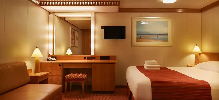

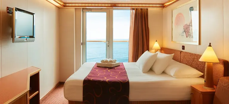
Costa Deliziosa

Welcome on board Costa Deliziosa
Dive into the swimming pool early in the morning, when everyone else is still asleep, and feel the sun caress your skin, or savor delicious cuisine at dinner at restaurant, and share it with those you love.
Costa Deliziosa has it all, furnishings, Murano glass decorations, open-air decks with floral names, elegant and bright cruise cabins, and wine tastings of fine wines at the end of the evening in the opulent wine bar.
A symphony of comfort, relaxation, fun and attention to details. That’s why it’s called Deliziosa!
Featured activities