
Costa Deliziosa: SFO - BCN - SFO97A06
1 available date
Itinerary
San Francisco, USA

Hilo, Hawaii

Honolulu
Apia, Western Samoa
Suva, Fiji Island

Nuku'alofa
Tauranga
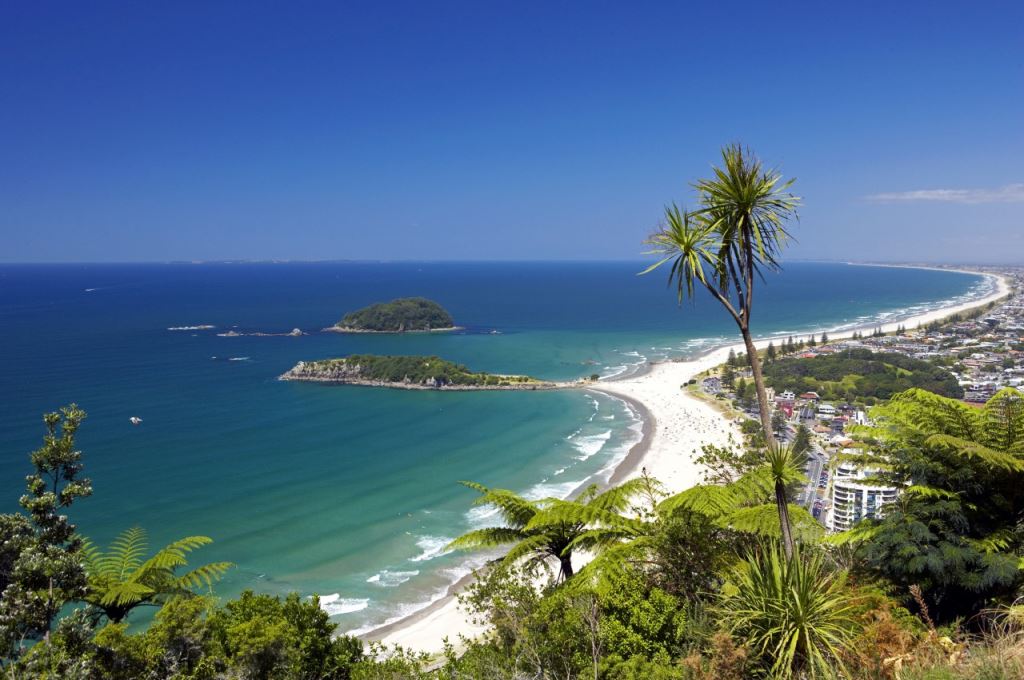
Auckland, New Zealand
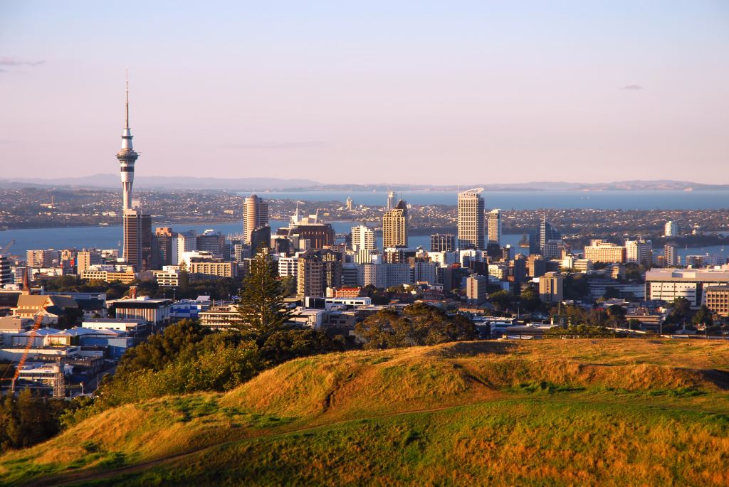

Bay of Islands
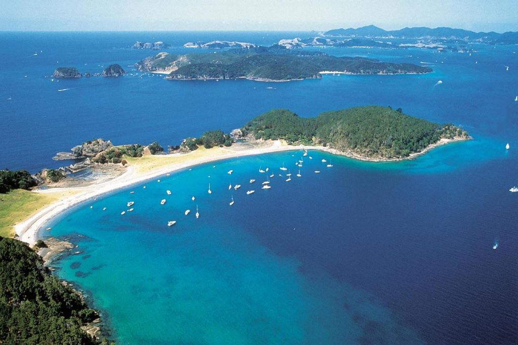
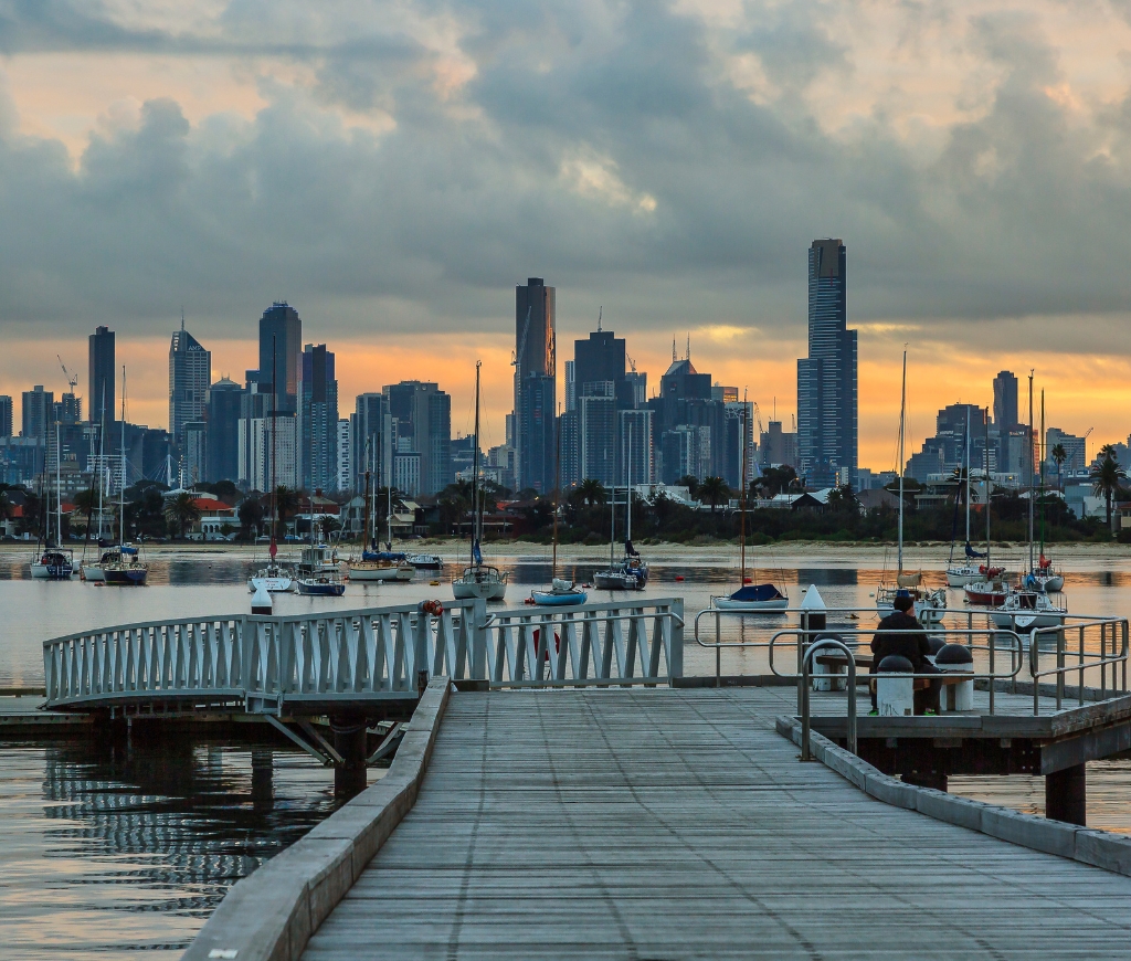
Melbourne, Australia
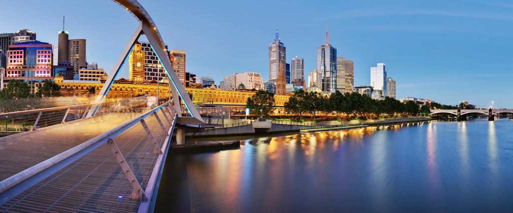
Sydney, Canada
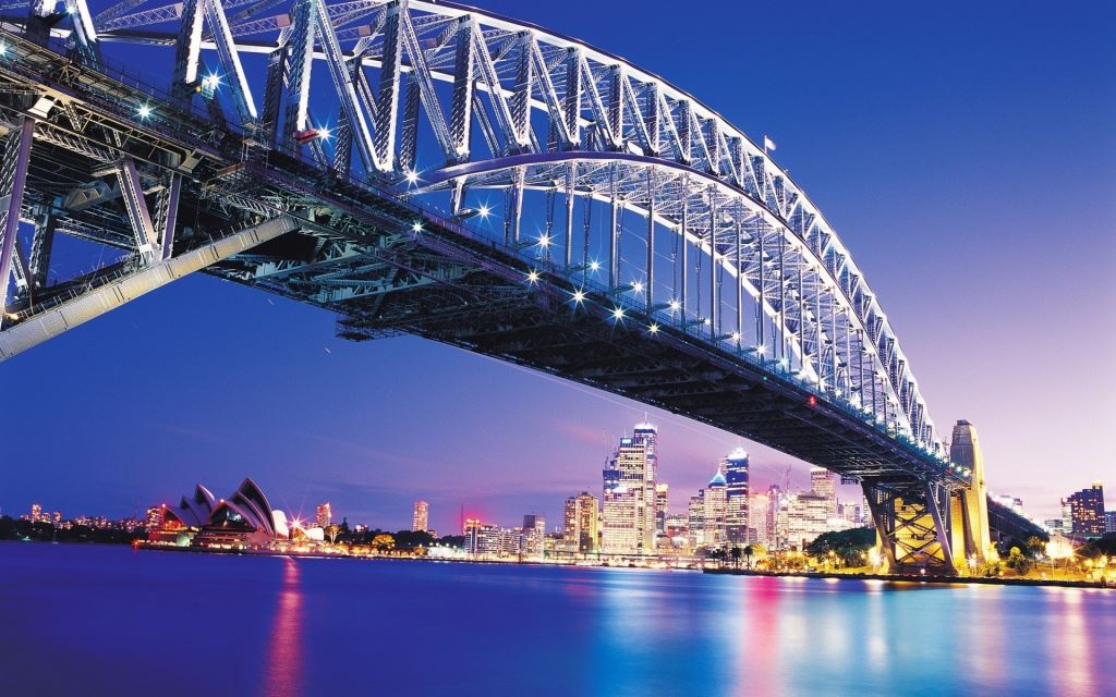

Sydney, Canada
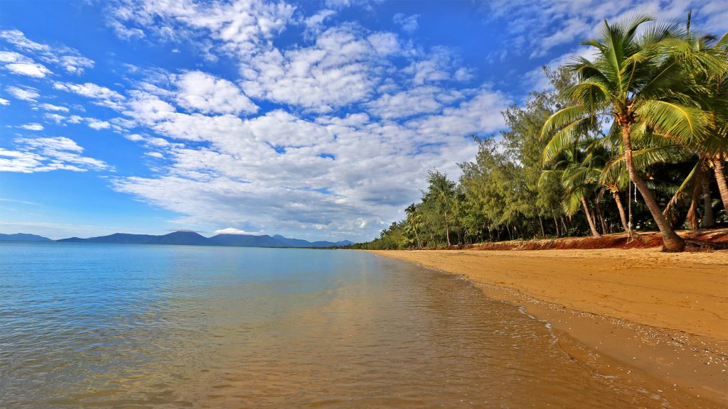
Cairns, Australia
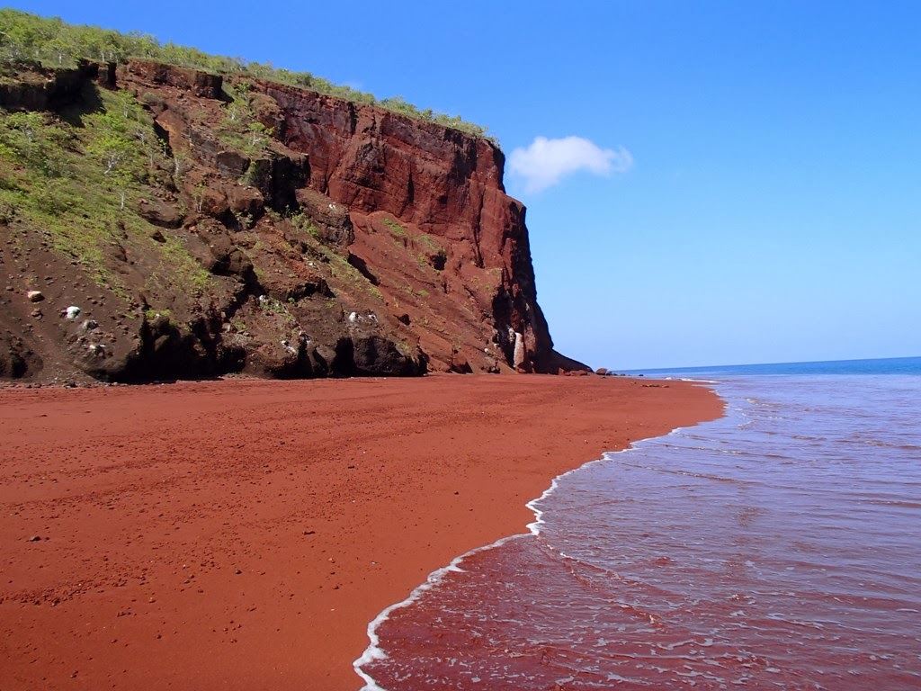
Rabaul (New Britain), Papua New Guinea
Tokyo, Japan
Tokyo, Japan
Shimizu, Japan
Kobe, Japan
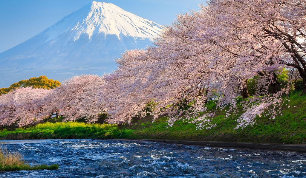
Kobe is the capital city of Hyogo Prefecture and a prominent port city in Japan with a population of about 1.4 million. The city is located in the Kansai region of Japan and is part of the Keihanshin metropolitan area. Kobe is classified as one of Japan's seventeen designated cities.
Originally known by the name Owada Anchorage, earliest written records regarding the region come from the Nihon Shoki, which describes the founding of the Ikuta Shrine by Empress Jingu in 201 A.D. For most of its history the area was never a single political entity, even during the Tokugawa Period, when the port was controlled directly by the Tokugawa Shogunate. Kobe did not exist in its current form until its founding in 1889. Its name comes from "kanbe", an archaic title for supporters of the city's Ikuta Shrine.
Kobe was one of the first cities to open for trade with the West following the end of the policy of seclusion and has since been known as a cosmopolitan port city. While the 1995 Great Hanshin Earthquake diminished much of Kobe's prominence as a port city, it remains Japan's fourth busiest container port. Companies headquartered in Kobe include ASICS, Kawasaki Heavy Industries, and Kobe Steel, as well as over 100 international corporations with Asia or Japan headquarters in the city such as Procter & Gamble and Nestlé. As of September 2007, Kobe has a population of 1,530,295 making up 658,876 households. The population density is approximately 2,768 persons per square kilometer. About thirteen percent of the population is between the ages of 0 and 14, sixty-seven percent are between 15 and 64, and twenty percent are over the age of 65.Approximately 44,000 registered foreign nationals live in Kobe.
The four most common nationalities are Korean (22,237), Chinese (12,516), Vietnamese (1,301), and American (1,280).Kobe is both an important port and manufacturing center within the Hanshin Industrial Region. Kobe is the busiest container port in the region, surpassing even Osaka, and the fourth busiest in Japan.As of 2004, the city's total real GDP was ¥6.3 trillion, which amounts to thirty-four percent of the GDP for Hyogo Prefecture and approximately eight percent for the whole Kansai region. Per capita income for the year was approximately ¥2.7 million. Broken down by sector, about one percent of those employed work in the primary sector (agriculture, fishing and mining), twenty-one percent work in the secondary sector (manufacturing and industry), and seventy-eight percent work in the service sector.The value of manufactured goods produced and exported from Kobe for 2004 was ¥2.5 trillion. The four largest sectors in terms of value of goods produced are small appliances, food products, transportation equipment, and communication equipment making up over fifty percent of Kobe's manufactured goods.
In terms of numbers of employees, food products, small appliances, and transportation equipment make up the three largest sectors.Kobe is famous for its Kobe beef and Arima Onsen (hot springs), while notable buildings include the Ikuta Shrine as well as the Kobe Port Tower. It is well known for the night view of the city, from the mountains (like Mount Rokko, Mount Maya and so on) as well as the coast. Kobe is also known for having a somewhat exotic atmosphere by Japanese standards, which is mainly a result of its history as a port city.The city is also widely associated with cosmopolitanism and fashion, encapsulated in the Japanese phrase, "If you can't go to Paris, go to Kobe."
The biannual fashion event Kobe Collection is held in Kobe. The jazz festival "Kobe Jazz Street" has been held every October at jazz clubs and hotels since 1981.Kobe is the site of Japan's first golf course, Kobe Golf Club, established by Arthur Hasketh Groom in 1903, and Japan's first mosque, Kobe Mosque, built in 1935. The city also hosts the Kobe Regatta & Athletic Club, founded in 1870 by Alexander Cameron Sim, a prominent foreign cemetery, and a number of Western-style residences from the 19th century.Most of the 1957 romantic drama Sayonara takes place in Kobe.
Kobe is also the setting of the Studio Ghibli film Grave of the Fireflies.

Sasebo, Japan
Busan, Korea, Republic of
Busan, a bustling city of approximately 3.6 million residents, is located on the southeastern tip of the Korean peninsula.
The size of Busan is 765.64km² which is 0.8% of the whole land of the Korean Peninsula. The natural environment of Busan is a perfect example of harmony between mountains, rivers and sea. Its geography includes a coastline with superb beaches and scenic cliffs, mountains which provide excellent hiking and extraordinary views, and hot springs scattered throughout the city.
Busan enjoys four distinct seasons and a temperate climate that never gets too hot or too cold.
Busan is the second largest city in Korea. Its deep harbor and gentle tides have allowed it to grow into the largest container handling port in the country and the fifth largest in the world. In the coming years, capacity is set to grow further with the opening of the New Port. The city's natural endowments and rich history have resulted in Busan's increasing reputation as a world class city of tourism and culture, and it is also becoming renowned as an international convention destination.
Busan, a city of beautiful mountains, rivers and the sea, is also a important cultural city. With the Nakdong River bordering the city and superb natural scenery like Haeundae adding nationwide attraction, the city serves as a major nexus of cultural activities around the region. Also, Busan is the first international port city in Korea. Its location enables the city to serve as a main gateway for the Korean Peninsula and the entire Northeast Asian region.
Geographically, Busan has the Straits of Korea to its south; Ulsan to the north; Gimhae to the West. Cities that share almost the same latitude with Busan include Jinhae and Gwangju in Korea, as well as Tokyo, Jeongsen, Algiers and Oklahoma City abroad.
Busan is eight hours ahead of GMT. As for its geopolitical location, the city comes at the Southern tip of a strip that connects Asia, Siberia and Europe. It also serves as a main gateway to the Pacific Ocean.
This location places the city at the center of international sea transportation.
Busan is located at the southeastern most tip of the Korean peninsula and in the mid-latitude temperate zone, which has seasonal winds. It has four seasons: Spring, Summer, Fall and Winter. The annual average temperature is 15°C. The annual average precipitation is 2,397mm. Busan has strong winds compared to other areas in Korea. Spring begins in March and ends in late June. Cherry blossom trees bloom in late March. And the temperature is very comfortable in April, May and June. The rainy season at the end of June and July signals the beginning of the coming of the summer heat. The highest mean temperatures of around 32°C are at the end of July through mid-August. Fall is from early September through late-November.
The weather is nice and cool at this time because of the continental high atmospheric pressure. Winter starts by the end of November and continues until February. But Busan rarely has any snowfalls. The average winter temperature is 3.8°C. Tourists can enjoy Busan throughout all seasons because of the nice weather and beautiful scenery. In summer, the city is crowded with visitors who come to enjoy the beautiful beaches.
From its opening in 1876, the port city of Busan quickly developed into a hub of trade, commerce and industry. This development resulted in a rapid increase in its population, which had already reached 200,000 by 1936. A major leap in Busan's population came with the breakout of the Korean War, which resulted in an endless stream of people into the city. As a result, the population of Busan exceeded 1 million by the end of 1955. Another factor that spurred the population increase was the government policy for economic growth.
People from urban areas kept streaming into the city for jobs. By the end of 1994, there were approximately 4 million people who called Busan their home. Since 1995, the population has slowly begun to decrease. As of December 2006, Busan was home to 3,635,389 people.

Keelung (Taipei), Taiwan (China)
Keelung (sometimes called Jilong) is a major port city in the north-eastern part of Taiwan. It borders Taipei County and forms the Taipei-Keelung metropolitan area together with the City and County of Taipei.
Nicknamed the Rainy Port for its frequent rain and its important maritime role, the city is Taiwan's second largest seaport (after Kaohsiung). Keelung is currently administered as a provincial city of Taiwan Province in the Republic of China. It has been suggested that the name Keelung was derived from the local mountain whose shape resembles a rooster cage. However, it is more probable that the name was derived from the first inhabitants of the region, like the names of many other Taiwanese cities. Indeed, the area's earliest inhabitants were the Ketagalan people, and Ke-lâng was thus probably derived from Ketagalan.
The Ketagalan were a Taiwanese aboriginal tribe, whose first contact with the west was through the Spanish. From 1642 to 1668 Keelung came under Dutch control. The Dutch East India Company attacked the Spanish and, following a brief successful siege, conquered their Fort San Salvador at Santissima Trinidad. They reduced the size of the town and renamed it Fort Noort-Holland. The Dutch possessed three other fortifications in Keelung which included a small school with a Christian preacher. When the Ming Dynasty loyalist Koxinga (Cheng Ch'en-Kung) successfully attacked the Dutch in southern Taiwan, the troops stationed at the Keelung forts fled to a trading post in Japan.
However, they returned in 1663 and reoccupied and defended their former forts. Unfortunately, trade with China through Keelung did not achieve the hoped-for success, and in 1668 the Dutch left voluntarily. In 1863 the Qing Empire reopened Keelung as an international trading port and it played an important role in the economy of the region until 1885. However, from October 1884, following the outbreak of the Sino-French War, the town was occupied by the French under the command of Admiral Amédée Courbet. Keelung grew rapidly after Taiwan's passage to the Japanese in 1895 under the Treaty of Shimonoseki. It obtained the status of town in Keelung District in 1920 and was upgraded to a city of Taipei Prefecture in 1924.

Hong Kong (China)
Hong Kong is a "Special Administrative Region of China”. It comprises the island of the same name, 259 other islands in the South China Sea, as well as areas of the mainland around the Kowloon Peninsula and in the so-called “New Territories”. Although it was occupied by Chinese settlers as early as the 2nd millennium B.C., the region remained untouched by Chinese imperialism up until the 17th century when it was the setting for a conflict between the Ming and the Manchu dynasties. However it only acquired international interest in the 19th century with the Portuguese being the first Europeans to develop colonies and trade here, silk and tea being the most sought-after goods in Europe.
China, which at the time had a near monopoly on tea production, requested silver in exchange for this commodity. The British, who like the Portuguese were trading in the South China Sea, promptly begun to sell opium to the Chinese in exchange for silver, which they required for the purchase of tea.
The subsequent commercial tension resulted in the first Opium War of 1841 that saw the British occupy Hong Kong which, growing in importance as a strategic port, eventually became a Colony of the Crown in 1843. The sphere of British influence grew further after the Second Opium War (1863), encompassing both the Kowloon Peninsula and then, in 1898, the “New Territories”, which were leased for a period of 99 years. As the expiry date grew ever closer, the Sino-British Joint Declaration was drawn up in 1984 and signed by Margaret Thatcher and Deng Xiaoping. This agreement provided for the return of the colony to Chinese rule on certain conditions – the first of which being the preservation of the then current economic and social system for 50 years.
The majority of Hong Kong’s population – those native to the region and those from surrounding provinces – is of Chinese origin, although there are also Filipino, British, Indian, Portuguese and American populations among the region’s 7 million or so inhabitants. The centre of Hong Kong extends around Victoria, the bay of the same name, and Victoria Peak, which at 552m above sea level is the highest point of the city and the perfect place to enjoy a spectacular view of the town and the sea. To get to the summit you need to take the Peak Tram which, constructed at the end of the 19th century, is the oldest form of transport in the city.
Another of Victoria’s institutions is the Star Ferry which, built in 1898, acts as a shuttle between the island of Hong Kong and the Kowloon Peninsula. The crossing only takes around ten minutes but the view of the island is breathtaking. Looking down on the bay are Hong Kong’s industrial, financial, business and technological buildings: the Commerce Tower, the Bank of China, the eye-catching Hong Kong and Shanghai Banking Corporation building, the Stock Exchange and Treasury buildings, the Legislative Council Buildings, still Victorian in style, and many others besides. Also on the island of Hong Kong is the city’s main religious building, the Man Mo Temple, which was built in 1848 during the first years of British occupation and dedicated to Man, the God of Literature, and Mo, the God of War. Stanley, meanwhile, located on the southern coast of the island, is a very colourful and lively district and has one of the city’s busiest markets where there is no shortage of fabrics, silk, traditional Chinese costumes, artistic products, souvenirs and handcrafted items.
Not far down the road is the Tin Hau temple that was built in 1767 and used as a shelter during the First World War. Still in Stanley you can also visit the old police station, the fort and Murray House, the oldest example of western architecture in Hong Kong. To the south of the island is Aberdeen Harbour which, until a couple of centuries ago, was a den for pirates. Converted into a simple fishing village, it is nowadays a village in its own right, where ancient fishing traditions prevail. Despite the ultra-modernity of the areas nearby, hundreds of old-fashioned boats make Aberdeen Harbour an extremely charming village on water – indeed around 6000 people live and work on the junks and sampans anchored to the harbour floor. The Kowloon Peninsula meanwhile is the cultural centre of the region: the Tsim Sha Tsui district is home to the Space Museum, the History Museum, and the Science Museum, as well as the Hong Kong Museum of Art with its exhibitions of Chinese and Asian art.


Phu My, Viet Nam
Singapore, Republic of Singapore
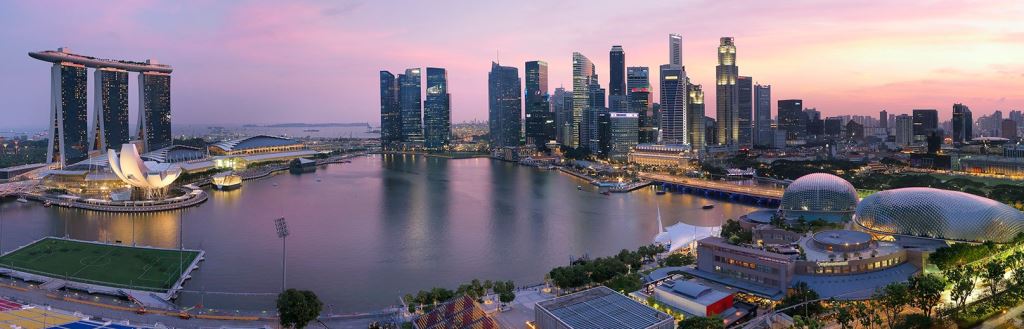
Legend has it that a Sumatran prince ran into the path of a lion in Tamasek and founded the city of the lion “Singa Pura” literally from the Sanskrit “singa” meaning city and “pura” meaning lion. It was probably a tiger he saw given that in Asia there are no lions, but the fact that the prince got out of the encounter alive with the animal was seen as an omen so good as to merit the foundation of a new city.
Singapore was a small commercial centre in the powerful Srivijaya empire of Sumatra and later, towards the middle of the 13th century, a puppet state of the Majapahit empire in Java, while in the 15th and 16th century it became part of the sultanate of Johor. Singapore’s more recent history is inextricably linked to the figure of Sir Stamford Raffles, an official in the East India Company. With a treaty stipulated with the sultan of Johor in 1819, he established a British settlement in Singapore. He then made the city a resting point to restock the ships of the British Empire and to halt the Dutch expansionist policy.
This therefore required a greater English presence in the port, a move that not only met with British support but also led to the granting of free port status with the consequent exemptions from customs duties. From that moment on the city grew at a dizzying pace and from its population of 150 in 1819 it grew to 10,000 in just five years. In 1832 it became the governing centre of British colonial possessions. Invaded in 1941 by the Japanese, who remained until September 1945, Singapore joined the Malaysian Federation in 1963 and has been an independent republic since 1965.
The city-state extends over a main island surrounded by around fifty smaller islands and has almost four million inhabitants. Economic growth attracted thousands of people from nearby countries and today the population is a multiethnic mosaic: 77% are Chinese, 14% Malaysians and Indonesians, 8% Indians and Pakistanis, while Eurasians make up just 1%.
Singapore is situated just 127 km from the equator in a strategic position on the trade routes between the east and west and has undergone unrivalled economic growth: its main businesses are trade, oil refinement and distribution, finance, high technology and biotechnology, tourism, manufacturing, and electronics, and all are managed by an advanced telecommunications system. There are around 300 multinationals and 130 banks (almost all foreign banks) here, whilst its port is the busiest in the world and base for around 600 shipping companies. Its economic wealth is matched by its historical and artistic wealth. And this can be seen in every part of the city: the immigrant populations have integrated into Singapore’s community while at the same time preserving their traditions and cultures. The city is divided into quarters each with its own specific identity. Chinatown, partly rebuilt over the last 30 years, is the cultural centre of Singapore, and houses one of the most interesting of the city’s temples: the Temple of Thian Hock Keng. In Little India the most beautiful temples are the Veerama Kali Ammam, the Sri Srinivasa Perumal and the sumptuous Temple of a Thousand Lights; in this quarter fabrics and spices can also be found.
Arab Street is on the other hand the Islamic district, centre of the textile manufacturing industry: batik, silks, sarongs and fabrics. Here naturally we find the mosques: the Sultan’s Mosque is the largest, although the Malabar Jama-ath mosque is more appealing. But we mustn’t forget the buildings from Western religions such as St Andrew's Cathedral and the Catholic Cathedral of the Good Shepherd. Jurong Town, east of the city centre, is a huge industrial area, but there are some places of interest to tourists, such as the Haw Par Villa (a park devoted to Chinese mythology), Jurong Bird Park, the Chinese and Japanese Gardens and the Singapore Science Center.
Singapore also has plenty of museums such as the Singapore History Museum and the Asian Civilisations Museum, one of the most important in South East Asia, with some very precious collections. The Singapore Art Museum exhibits locally produced contemporary works of art and others from South East Asia.
PORT KELANG
Penang, Malaysia
The Malaysian state of Palau Penang includes Penang Island and a strip of mainland called Seberang Perai, which forms Wellesley province. Penang covers an area of 285 km2 and in 1786 became a British colony with the name Prince of Wales Island. Under the British it developed into one of the largest trading ports in the East and subsequently followed the destiny of the other states of the Malaysian federation, gaining independence in 1957. It has belonged to the federation since 1963 and like Malacca and Sabah is ruled by a governor appointed by central government.
Today, the capital Georgetown is a lively city that blends Asian and Western history and traditions and is one of the country's main tourist attractions. It is Malaysia's third largest commercial centre after Kuala Lumpur and Johor Bahru, but has also become an important tourist destination with plenty of attractions. This small island has the greatest population density of the whole of Malaysia, with a large Chinese majority. Indeed, over 60 per cent of the population is Chinese, with 23 per cent Malay and 11 per cent Indian. This predominance can obviously be seen in the streets, where you will come across splendidly decorated, typical Chinese houses, lively fruit and vegetable markets, and temples where Buddhist or Maoist religious holidays are celebrated.
However, while Georgetown has the atmosphere of an Asian city, its Western legacy is also clear. In the centre of the capital you can still see the old walls of Fort Cornwallis, where the famous Captain Light landed in 1786. Originally, the fort was just a wooden stockade, but it was rebuilt solidly in stone in 1804 using forced labour.
Today, it houses an open-air amphitheatre, a historic arcade and a craft and souvenir centre. There are also hundreds of cannons, many of which were captured from local pirates. They include the famous decorated cannon presented as a gift by the Dutch to the Sultan of Johor, the Seri Rambai, which dates back to 1600: it is considered a fertility symbol and barren women offer it flowers and prayers. This cannon had a rather eventful history before it reached Penang. It was first taken by the Portuguese, then transferred to Java where it remained for some time, before ending up in the hands of pirates. The Kuan Yin Teng Temple, also in the old centre of Georgetown, is one of the city's most visited holy sites, while the Kek Kok Si Temple at Air Itam, built in 1893, is the largest Buddhist temple in the whole of Southeast Asia. The blue-painted Cheong Fatt Tze Mansion in Georgetown dates from the end of the 19th century and is a little architectural gem.
Throughout the island are various kongsis, buildings in which the Chinese clans used to meet, also used as places of worship. One of the most famous is Khoo Kongsi, which was burned down the very day it was completed and then immediately rebuilt. For the best view of the city and the whole island, take the cable railway up Penang Hill, 830 metres above Georgetown.
The city has some beautiful parks, such as Penang Bird Park, which covers 5 acres in Seberang Jaya and is home to over 400 species of birds from all over the world. There are also many artificial islands with fountains and gardens, ornamental plants and an incredible variety of orchids and hibiscus. Near the capital there is the Bukit Mertajam Recreational Park, about 18 km from the ferry terminal at Butterworth, near the town of Bukit Mertajam. It is an extremely beautiful natural haven: its cool climate has encouraged the luxuriant growth of ferns and wild flowers, but of course there are also plenty of exotic butterflies and gorgeous birds.
For butterfly lovers, we recommend the Penang Butterfly Farm at Teluk Bahang, with over 100 species of butterflies and insects that live undisturbed in a splendid tropical garden setting. And for those who like relaxing and the sea, there is the beautiful Batu Ferringhi beach.

Langkawi, Malaysia
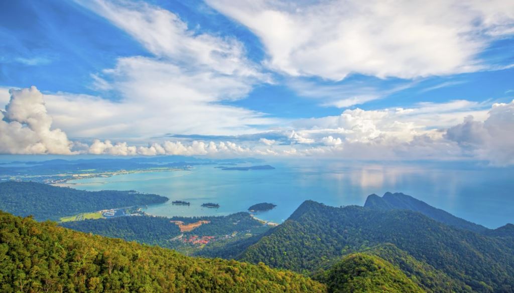
Langkawi Isand is located just off the coast of North Western Malaysia, about 30 km from Kuala Perlis and 51 km from Kuala Kedah and close to Thailand. The islands are a part of the state of Kedah, which is adjacent to the Thai border. On July 15, 2008, Sultan Abdul Halim of Kedah had consented to the change of name to Langkawi Permata Kedah in conjunction with his Golden Jubilee Celebration.
By far the largest of the islands is the eponymous Pulau Langkawi with a population of some 70,000, the only other inhabited island being nearby Pulau Tuba. Langkawi is also an administrative district with the town of Kuah as the capital and largest town. Langkawi is a duty-free island.
Langkawi lies north of the Strait of Malacca in the southern Andaman Sea near the border between Malaysia and Thailand. A few kilometers to the north lies the neighboring Thai island of Ko Tarutao. The island group's main town, on the main island, is Kuah. Langkawi's highest point is Gunung Raya, rising to 890 m above sea level in the main island's central-eastern area. The archipelago consists of 99 islands with a total land area of 528 km2 (204 sq mi).
'Langkawi' mean's Eagle Island, it may be noted, and indeed there is a great abundance of eagles in the area. In Kuah, there is an eagle monument in Eagle Square, which commemorates the origin of Langkawi's name.
Langkawi is also the site of the Mahsuri legend. The legend speaks of a young woman who was accused of adultery and was executed by the public despite her pleading innocence. Mahsuri, before her death, made a curse on the island for seven generations of bad luck.
Langkawi eventually came under the influence of the Sultanate of Kedah, but Kedah was conquered in 1821 by Siam and Langkawi along with it. The Anglo-Siamese Treaty of 1909 transferred power to the British, who held the state until independence, except for a brief period of Thai rule under the Japanese occupation of Malaya during World War II. Thai influences remain visible in the culture and food of Langkawi.
From the Kuah jetty, there are high-speed ferry connections to Satun in southern Thailand, Pulau Payar, Penang, Kuala Kedah and Kuala Perlis in the mainland of Peninsular Malaysia. Star Cruises ships dock at the Awana Porto Malai harbour on the west coast of the island.
On June 1, 2007, Langkawi Island has been given a World Geopark status by UNESCO.[3] Three of its main conservation area in Langkawi Geopark; Machincang Cambrian Geoforest Park, Kilim Karst Geoforest Park and Dayang Bunting Marble Geoforest Park. (Island of the Pregnant Maiden Lake). These three parks are the most popular tourism area within Langkawi Geopark.
Sheltered by the mountainous backbone of Peninsular Malaysia, Langkawi escapes the northeastern winter monsoon entirely and enjoys sunny skies when the eastern provinces are flooded.
Langkawi remained a sleepy backwater until 1987, when the island was granted tax-free status with the intention of promoting tourism. Subsequently the island's airport was upgraded and ferry links were increased.
Beginning 1990s, Langkawi competes with nearby Penang for the title of Malaysia's largest tourist draw. Besides being tax-free, the beach and eagle, another attraction in Langkawi is the Cable Car to the tops of Gunung Mat Cincang at 705 m above sea level. Galeria Perdana a collection of over 2500 gift to the fourth Prime Minister of Malaysia, Mahathir Mohammad.
Pulau Payar is beautiful island by itself near Langkawi. To reach Pulau Payar one needs to take an hour drive on water. Snorkeling, Scuba Diving, Swimming is the activities to do in Pulau Payar.
Another tourist spot in Langkawi is the Mangrove forest. The entire Mangrove forest can be covered on a boat ride for about one hour. There is an eagle feeding spot amidst the backwaters where people used to feed the eagles. Thailand can be seen from these backwaters.From her early days as a place of refuge for pirates and buccaneers who preyed upon trading ships in the Straits of Malacca, the Langkawi islands have seen many changes, but the most profound Yet despite these changes, Langkawi has still managed to retain her identity through the ages. It is still very much a land of! Kampongs", beaches, rice fields, legends and easygoing people. Langkawi's magical charm is one, which you have to experience for yourself, a spellbinding adventure for all who set foot here.
Malaysia enjoys a tropical climate. Temperatures in the lowlands range from 22 to 32 degrees Centigrade. Inthe highlands, temperatures vary between 16 - 23 degrees Centigrade. Rain falls throughout the year,averaging around 250 cm a year. The south-west monsoon blows from April to July, bringing the rains to thewest coast of Peninsular Malaysia. The north-east monsoon from November to January again brings high rainfallto both the west and the east coasts. Light clothing is suitable for everyday use.Islam is the official religion but Buddhism, Taoism, Hinduism, Sikhism, Christianity and other religions are also freely practiced.Bahasa Malaysia (Malay) is the official language but English is widely used, especially in the commercial sector. Other major languages are Mandarin and Chinese dialects such as Cantonese and Hokkien, and Tamil.The population of Langkawi for is estimated at 70,000; 89 percent Malays, eight percent Chinese and three percent other races.
Phuket, Thailand
Located 867 km from Bangkok in the Andaman Sea, Phuket is Thailand’s largest island. With an area of 534 km2 (slightly larger than Malta), it is generally a fairly flat island with a few isolated hills, although the western part has a chain of mountains that run from north to south reaching a peak of 529 m above sea level at Mai Tha Sip Song. 70% of the island is covered by forest.
The coastline is quite varied – in some parts it is rocky, at times with limestone cliffs, whilst other stretches are made up of long and inviting beaches. Also known as the “pearl of the Andaman”, Phuket was a wealthy and glorious place as early as the 16th century when the island’s economy was based on tin mining – at the time considered a semi-precious metal. In recent times mining activity has made way for agriculture and, of course, tourism.
The primary object of cultivation is the rubber tree (Thailand is the world’s leading producer of latex, extracted from the Hevea Brasiliensis), although coconuts, pepper, peanuts, pineapples and cocoa are also important raw materials. European traders were active here back in the 16th century and knew the island as Junkceiylon – indeed lying on the route between China and India, Phuket was soon exploited by the Dutch and Portuguese.
Becoming part of Thailand in the 19th century, the population is a mix of Chinese and Thai origin with some European influences too, above all Portuguese.
At the beginning of the ’80s Phuket made its entry on the international tourism scene, tempting visitors with its 30 or so glorious beaches. The most beautiful of these are found on the West coast. Patong, a half hour drive from Phuket, is the most well-known resort and offers the largest selection of bars, restaurants and shops on the island, as well as vibrant nightlife. Bang Tao Beach, meanwhile, was once a tin mining site but is now one of the most well-equipped tourist complexes on the island: the area to the north of the beach is generally less crowded.
Nai Harn Beach is one of the more beautiful beaches and its location means that is not inundated with hordes of tourists either: here, the Samnak Song Nai Harn monastery dominates the landscape. Cape Panwa beach is situated to the south of Phuket City and surrounded by a hilly area that affords a marvellous view of the Andaman Sea. Just 11 km from Phuket City, Chalong Bay benefits from its location in terms of tourism and has a tourist pier that is used for diving and fishing.
Phuket City is the capital of the province of the same name and was founded by Indian settlers in the 1st century B.C. Among the museums it has to offer is Thalang National Museum, the city’s history museum that houses a large collection of historical and artistic finds from Phuket and the nearby provinces of Krabi and Phang Nga: of particular interest is the section dedicated to the culture of the “sea gypsies”.
The Phuket Sea Shell Museum meanwhile exhibits a wide array of fossils and seashells with a particular emphasis on seashells from Thai waters. Along Montri Road, Phang Nga Road, Rassada Road and Yaowarat Road in Phuket Town there are numerous local craft, souvenir and antique shops. A trip to this district also means an opportunity to admire the Sino-Portuguese architecture with its characteristic buildings and shops.
Still in the centre, Ranong Road is home to the “Thai Fresh Market” which as well as selling fruit, vegetables and meat, also has clothes and other consumer goods. There are also a number of Chinese temples in the town centre such as Put Jaw and Jui Tui. As regards religious architecture, the Chalong Temple (Wat Chalong) is one of the main temples and is located just 8 km from the city centre. The importance of the Phra Nang Sang Temple (Wat Phra Nang Sang) is due in large part to its three ancient tin statues of the Buddha.
From the peak of Khao Rang, a hill to the extreme north-west of Phuket, you can enjoy the best view of the city with a panorama that extends as far as the forest and the sea. Finally, other places of interest include the Butterfly Garden - Insectarium in the Sam Kong district, and, not too far away, the Orchid Garden in Thai Village.

Colombo
Wanniyala-Aetto or the "forest beings": this is what the first inhabitants of what we know as Sri Lanka call themselves, the Australoid hunter-gatherers that populated the inland forest regions around 18,000 years ago. It is estimated that there are still between a few hundred and a couple of thousand of Wanniyala-Aetto left, but is it a people that is rapidly becoming extinct due to its assimilation with the rest of the population.
The “forest beings”, also known as the Veddahs, were later joined on the island by the Sinhalese who created the powerful Buddhist kingdoms of Anuradhapura (200 B.C – 1000 A.D.) and Polonnaruwa (1070 – 1200 A.D.). The Sinhalese were themselves joined by the Tamils and over the centuries the relationship between these two groups has been both peaceful and hostile in nature, with invasions and integration on either side. The 16th century and the beginning of the colonial period saw the arrival of first the Portuguese, followed by the Dutch (17th century) and then the British who controlled the island from 1802 until 1948, when it became an independent state.
Over history Sri Lanka has been variously known as Lanka, Lankadeepa (from the Sanskrit meaning “resplendent land”), Serendib (also of Sanskrit origin) and Selan before assuming the name Ceylon during the colonial era. Since 1972 the official name of the country has been the Democratic Socialist Republic of Sri Lanka. Its unique shape and proximity to the Indian mainland have also led some to label the island as “India’s Teardrop”. In 2001 the Sri Lankan parliament was transferred from Colombo to Sri Jayawardenepura Kotte (population 115,826), which consequently became the capital of Sri Lanka. Colombo however remains the country’s most important city and its financial and business capital. Previously known as “Kola-amba-thota” from the Sinhalese for “mango harbour”, following Portuguese colonisation the city changed its name to Colombo in honour of explorer Christopher Columbus.
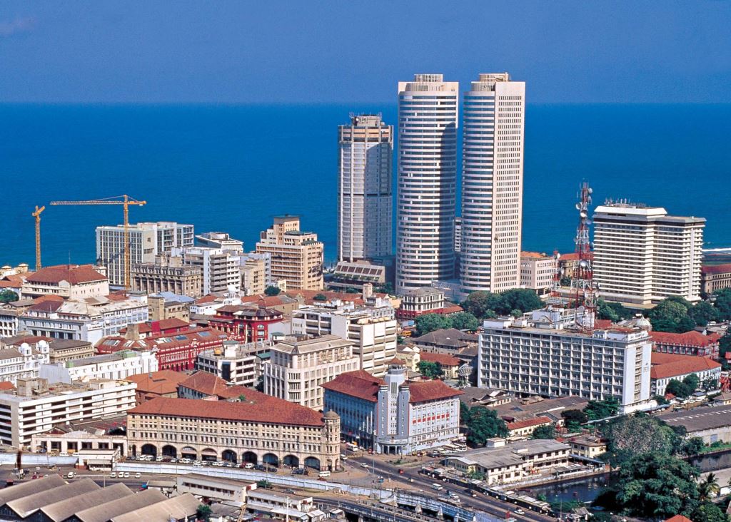
Located at the mouth of the Kelani river the city has a population of around 740,000, and over 2 million if you count the entire metropolitan area, and is therefore the country’s most populated city and its principal port. Thanks to the creation of the port by the English back in 1870, the city also began to develop on an industrial level. Chemicals and petrochemicals, textiles, glass and cement are the principal industries, although the city also specialises in leather and the production of furniture and jewellery.
Colombo is a chaotic, bustling and very busy city, a melting pot of the different ethnic groups and religions that make it such a multicultural city. The largest group is the Buddhist Sinhalese, and this explains the presence of numerous Buddhist temples such as the Gangarama with its myriad of statues and the Kelaniya Raja Maha Vihara, destroyed and rebuilt on numerous occasions. The Tamils have influenced the architecture of the city with their numerous Hindu temples known as Kovils. The Kathiresan temple is dedicated to Skanda, the god of war, whilst the Sri Kailasanathar Swami Devasthanam temple located near Fort railway station is one of the oldest Hindu temples and is dedicated to the goddess Shiva and the god Ganesh. However there is also plenty of western influence in evidence: the Dutch Governor’s banqueting hall was transformed into St. Peter’s Church in 1804 whilst the Dutch Period Museum, which contains historical documents and exhibits relating to the Dutch colonial period, was previously home to Governor Thomas van Rhee (1692-97).
There is also a small Islamic community in Colombo, probably descendents of Arab and Indian merchants that were already trading here around 1000 A.D. The focal point of this community is Jami-ul Alfar Mosque. Completing the overview of the city mention should also be made of the Fort district to the north with its Clock Tower, the President’s Residence (or “Queen’s House” for traditionalists) and cluster of colonial buildings, and the Pettah district, in essence an enormous bazaar. Here every crossroads or street has its own particular characteristic: Sea Street is lined with goldsmiths, Prince Street is famous for glass and mirrors, and Malwatte Avenue sells local and English music cassettes…
Male, Maldives
The Maldives archipelago is made up of some 20 atolls with a total of 1190 coral islands, around 200 of which are inhabited. The islands rest on a rock base formed around 60 million years ago during the period in which imposing mountains emerged from the bottom of the Indian Ocean. They lie in the equatorial belt and have a hot and humid climate.
The population is originally Singhalese, like the majority of the inhabitants of the large island of Sri Lanka. According to an ancient legend, a prince and his young wife, the daughter of a king who reigned in what is present-day Sri Lanka, were travelling by sea when they stopped at the atoll of Raa and were invited to remain there as its rulers. King Koimala and his wife subsequently settled permanently in Malé with the permission of the Giraavaru tribe, the aboriginal inhabitants of the Kaafu atoll. According to some scholars, indirect confirmation of this legend seems to come from the fact that the language spoken on the Maldives, Divehi, is very similar to Elu, an ancient form of Singhalese. Because of their strategic position on the trade routes between Asia and Europe, the Maldives have also been greatly influenced by Arabia and China, to which they long exported coconuts, dried fish and, above all, the precious cowry - a small white shell collected on the beaches and used as currency in the countries around the Indian Ocean.
In the 12th century, the Arabs made the Maldives a sultanate and introduced Islam. They were followed by the Portuguese and the Dutch from the 16th century, while the archipelago was a British protectorate between 1887 and 1965. In 1968 the sultanate officially became a republic. There are 26 natural atolls in the Maldives, each of which is formed of hundreds of islands of which only a few are inhabited. Almost half the 200 populated islands are used as tourist resorts. A good number of the people of the Maldives live in the capital Malé, even though the majority are distributed through the small villages. Almost a third of the country's population of around 80,000 lives here.
It is a modern, functional town with an almost western atmosphere, due to the long years of British rule. The buildings are tall and the roads paved, the public offices are all concentrated in one area, whereas in the old bazaar area, lanes and narrow streets conjure up the flavours of the past. The capital's most important building is undoubtedly the Grand Mosque with the adjoining Islamic Centre: this fine 3-storey structure is embellished with a golden dome and has a large meeting room and library. The Grand Mosque is the largest religious building in the Maldives and can accommodate around 5000 worshippers. The main hall is beautiful, with carved wooden doors and panels. The Grand Mosque actually replaced the Old Mosque, built in the 12th century when Islam was introduced to the archipelago. It was built on an ancient temple facing west and this explains the mosque's departure from the classic orientation, which would normally be more north facing, i.e. towards Mecca. The blue and white minaret and the cemetery with the sultans' tombs are also worth a visit. The Mulee-Aage is the old presidential palace, built by Sultan Shamsuddeen III for his son at the beginning of the 20th century.
When the Maldives became a republic in 1953, the Palace became the president's official residence. Malé has three ports. The internal one, where boats from the airport and the resort islands dock, runs alongside Marine Drive. The main square, Jumhooree Maidan, built in 1989, is also situated along this road and is the most popular and ideal place to meet people. Around it are not only the city's most important monuments, but also the tourist streets of Faridi Magu and Orchid Magu, which together with various side streets form the so-called Singapore Bazaar, an area of shops and markets where just about anything can be bought and sold.
Diving is one of the most popular activities for tourists to the Maldives: the underwater world is spectacular, with fish of all kinds and beautiful corals. You can also explore several wrecks, such as the Maldive Victory, near Hulule airport.

Port Louis
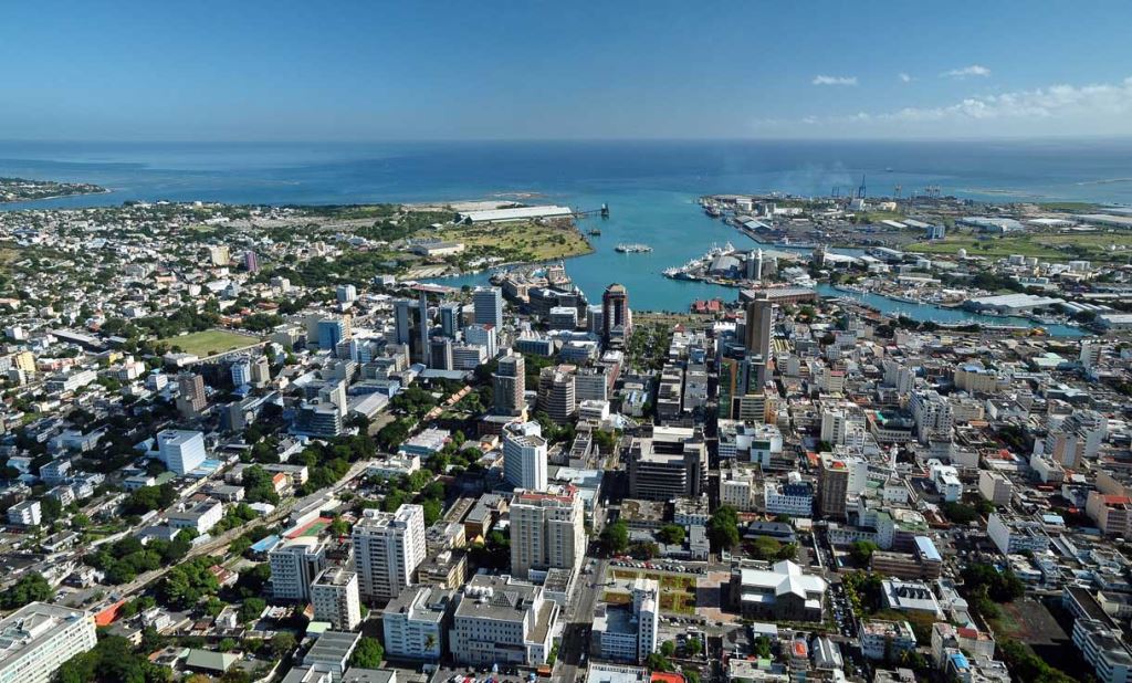
Mauritius has, somewhat grandiloquently but nevertheless appropriately, been defined as "God's model for Paradise". Indeed, the island boasts not only some of the finest beaches in the Indian Ocean, but also enchanting mountain landscapes and a rich and harmonious blend of cultures.This cultural variety has also given rise to interesting urban landscapes, dotted with splendid Hindu temples, mosques, churches and Buddhist pagodas. The capital, Port Louis, is a typical example and is considered the quintessential multicultural city with its five Hindu, Islamic, Christian, Chinese and Creole districts. Its bustling shop-lined streets are also the business and administrative centre of Mauritius.
However, beyond the business district with its towering high-rise buildings, the capital attracts tourists with its many shopping opportunities, which range from lively little street markets to a large shopping area on the seafront with fashionable boutiques.The city centre is still home to a surprising number of colonial buildings, which it was recently decided to preserve for their historical importance. Port Louis also has some remarkable religious buildings, which are well worth a visit. The Jummah Mosque dates from the mid-nineteenth century and is the largest on the island, boasting a charming combination of Indian, Creole and Islamic architectural features. Other interesting religious buildings include the cathedrals of Saint James and Saint Louis, and the monument of Marie Reine de la Paix, which attracts many pilgrims and offers fine views of the city.
Noordt Wester Haven was the original name of Port Louis, which was founded by the Dutch in the seventeenth century. However, it did not become an important town until the middle of the 1700s, partly due the efforts of the French governor Bertrand-François Mahé de La Bourdonnais, whose statue stands in the city's main square and has become a symbol of Port Louis.
From the late eighteenth century the city suffered an incredible series of fires, cyclones and epidemics that continued for just over 100 years and decimated its population, most of whom moved to the safer and healthier central plateau of the island. Today the capital has made a complete economic recovery, but its population is relatively small and most of those who work there commute from the plateau.The centre of Port Louis is characterised by a grid of streets that slopes gently towards the port and the main tourist attractions are concentrated on the seafront.The Central Market is very popular with tourists, due to its bustling activity and variety of wares, which range from fruit and vegetables to handicrafts, souvenir t-shirts and Ayurvedic medicines from India.
The modern Blue Penny Museum, named after one of the two most valuable stamps in the world, traces the history of Mauritius from the island's discovery to the present day. The exhibits of the Natural History Museum include a reproduction of a dodo, the famous mysterious bird that died out in the 17th century, whose appearance has been reconstructed from the sketches of the first sailors who landed on the island and from the chance discovery of the only known skeleton. Fort Adelaide, also known as the Citadel, was built by the British in the style of a Moorish Fortress on a hill offering splendid views of the city.
Durban, South Africa
Port Elizabeth, South Africa

Cape Town, South Africa


Walvis Bay, Namibia

Mindelo
Mindelo is one of the most important towns on the island of São Vicente in the Cape Verde Islands. Rectangular in shape, the island covers an overall area of approximately 141 square miles.
Despite its volcanic origins, it is almost completely flat with Monte Verde its highest peak reaching just over 2500 feet. Although much erosion has taken place, the traces of volcanic activity are still very plain to see in the form of several craters, in particular the one that forms the lovely Bay of Mindelo.
According to the history of the island, São Vicente was discovered on January 22, 1462, Saint Vincent's Day, from which it takes its name. Various attempts at colonisation failed and the island remained practically uninhabited until midway through the nineteenth century when the construction of the Porto Grande, built for the main purpose of exporting the island's extremely rich coal resources, opened the way for the establishment its first settlement in 1838.
Mindelo, which was named in honour of the landing of liberal forces on the small beach of the same name in northern Portugal, grew rapidly in the shadow of the harbour activity. Its low rainfall meant that its economic development was based exclusively on natural resources and trade. More recently tourism has become one of this little island's leading industries. Many music schools have been founded here carving out a respectable niche for themselves in the sphere of world music, thanks also to Cesaria Evora, the native Cape Verde singer/songwriter recently discovered by the international record industry.
The town is known for its Carnival, the liveliest in all of the Cape Verde Islands. Although its origins stem from traditional Portuguese Mardi Gras festivities, it has developed its own unique style by incorporating several of the features of the Brazilian Carnival and images of the island's numerous allegorical figures. Its processions are completely spontaneous and improvised making the Mindelo Carnival a magical explosion of raw energy, in absolute harmony with the town and its inhabitants. Like the Rio Carnival, its purpose is to make dreams come true and forget the reality of everyday life, even just for a few moments. Another important event is the Baia das Gatas festival held on the beach of the same name during a weekend in August when there is a full moon. Founded by a group of friends, its reputation has grown gradually until it is now an international music festival featuring numerous national and international bands, horseracing, water sports, rhythmic dancing and other entertainment.
The Mindelact, an international meeting of amateur theatre groups that is held each year in September, is another major event. São Vicente has revived the art of handicrafts, through the National Handicraft Centre that sponsors various workshops, especially in the field of textiles, the production of fabrics, pottery, batik, items made from coconut shells, and necklaces made from shells and stones. These handmade items are a major attraction for international shoppers. The island's cuisine is a gastronomical adventure. São Vicente offers numerous local specialties, featuring mainly seafood and fish dishes such as gooseneck barnacle stew and "Zé do Lino"-style barbecued lobster.
The town of Mindelo, with its well laid out network of streets, is an excellent place for exploring on foot. Its architecture influenced by the British presence, Colonial monuments and a beautiful seafront avenue are all within reach. While the enormous, natural pool of Baia De Gatas and its beautiful and unusual landscape is less than ten minutes away from the town centre.

Las Palmas de G.Canaria (Canary Is.), Spain
Las Palmas de Gran Canaria, the largest city in the Canary Islands, is located on the northeastern coast of the island of Gran Canaria. This vibrant city combines a rich history, a cosmopolitan atmosphere, and a relaxed Mediterranean-Atlantic lifestyle. The historic heart of the city, Vegueta, is the perfect place to explore colonial architecture and cultural heritage. Its cobbled streets are home to important museums, churches, and buildings from the 15th and 16th centuries, including the House of Christopher Columbus. In contrast, the modern parts of the city offer a wide range of shops, restaurants, galleries, and the dynamic rhythm of urban life.
One of the city’s main attractions is Las Canteras Beach, over three kilometres long and located right in the city centre. Thanks to a natural reef that softens the waves, it's ideal for swimming, snorkelling, and seaside walks. The city hosts numerous cultural events throughout the year, including the well-known carnival, famous for its costumes, parades, and music. The cultural scene is enriched with theatres, concert halls, and museums.
The local cuisine features traditional Canarian flavours – fresh fish dishes, local vegetables, papas arrugadas with mojo sauce – along with influences from Latin America and Africa, reflecting the city’s historical ties to trade and the sea.
Thanks to its mild year-round climate and excellent transport connections, Las Palmas de Gran Canaria is an ideal destination for those looking to combine culture, the sea, nature, and urban life all in one place.


Barcelona, Spain
Barcelona, the capital of Catalonia, is a city with a rich and diverse history that dates back to the Roman era. Over the centuries, it was under Roman, Arab, Byzantine, and Christian rule, all of which have left a lasting mark on its architecture and cultural identity. During the Middle Ages, Barcelona became an important commercial and cultural center of Catalonia, and in the 19th century, it experienced significant industrial and urban development.
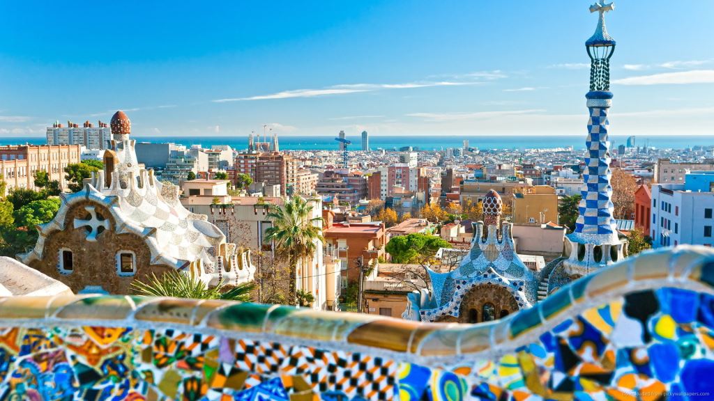
One of the most notable architects associated with Barcelona was Antoni Gaudí, whose works such as the Sagrada Família, Park Güell, Casa Batlló, and Casa Milà have become iconic symbols of the city. His unique style, which blends elements of Gothic, Modernism, and natural forms, has made Barcelona a uniquely vibrant urban space. Among the city’s most famous attractions are La Rambla, a lively promenade stretching from Plaça de Catalunya to the sea, and the Gothic Quarter (Barri Gòtic), the old part of the city filled with medieval alleys, buildings, and churches, including the Cathedral of Saint Eulalia. The artistic spirit of the city can also be felt in the Picasso Museum and the Joan Miró Foundation, which house works by two of Catalonia’s greatest artists.
Barcelona is also renowned for its famous football club, FC Barcelona, whose stadium Camp Nou attracts thousands of visitors eager to experience the passion and pride that Catalans have for their team.
The city also offers a rich culinary scene – from its famous tapas to traditional dishes such as paella, fideuà, zarzuela, and the dessert crema catalana. A highlight is the Boqueria Market, where visitors can taste local products and delicacies. Today, Barcelona is one of the most visited cities in Europe, offering a perfect blend of history, art, architecture, sport, gastronomy, and Mediterranean spirit.

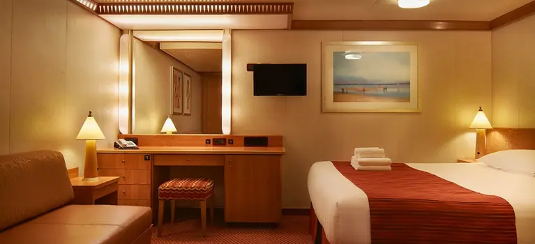
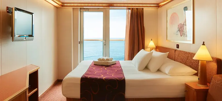
Available cabins for Mon. 03.01. - Sun. 09.04.2028.

Costa Deliziosa

Welcome on board Costa Deliziosa
Dive into the swimming pool early in the morning, when everyone else is still asleep, and feel the sun caress your skin, or savor delicious cuisine at dinner at restaurant, and share it with those you love.
Costa Deliziosa has it all, furnishings, Murano glass decorations, open-air decks with floral names, elegant and bright cruise cabins, and wine tastings of fine wines at the end of the evening in the opulent wine bar.
A symphony of comfort, relaxation, fun and attention to details. That’s why it’s called Deliziosa!
Featured activities